

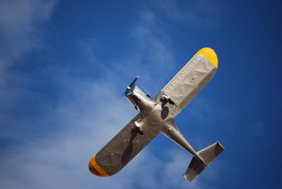
A vintage plane. Photo by Jennifer Carnes
In late 2016, the Town of Superior was awarded a grant from the Arizona Department of Transportation Aeronautics division to conduct a master plan for the Superior Municipal Airport. The Airport is located west of Superior off of US 60 and is home to a dirt airstrip.
When the US 60 four-lane expansion construction was started, the Town used their funds from the sale of the airport easement to fund the match for the grant. Coffman and Associates were awarded the contract to complete the study. Last week Coffman and Associates hosted an open house to share their current findings on the plan. The master plan is about half way completed; the Airport Technical Advisory Committee will meet again in early 2018 and will host another public meeting for input following that meeting.
The plan currently identifies three alternatives to improve the airport infrastructure in order maximize the potential uses of the airport for airplane parking, helicopter landing zone for both tours and medical purposes and business park development. The airport property does cross US 60 to the north, that plan also includes potential land use for that area. Several aviation enthusiasts have requested that the dirt air strip remain in the plan, as it provides a unique training ground. The three alternative development plans call for the run way to be paved, but the dirt strip could be accommodated.
In the past year the Town of Superior has made some improvements to the airport, at the request of the Federal Aviation Agency, those improvements have included new fencing to keep the cattle off the run way and regular grading of the runway.
You can learn more about that Airport Master Plan and make comments on the plan or suggest ideas for the land use of the airport online at: http://superior.airportstudy.com.
Mila Besich is a resident of Superior with two children. She volunteers for many local organizations. She is an experienced fundraiser and event planner for Copper Corridor Economic Development Coalition. She covers some of the area town councils and schools.